
Eastern Illustrating Photographs of Windham NH
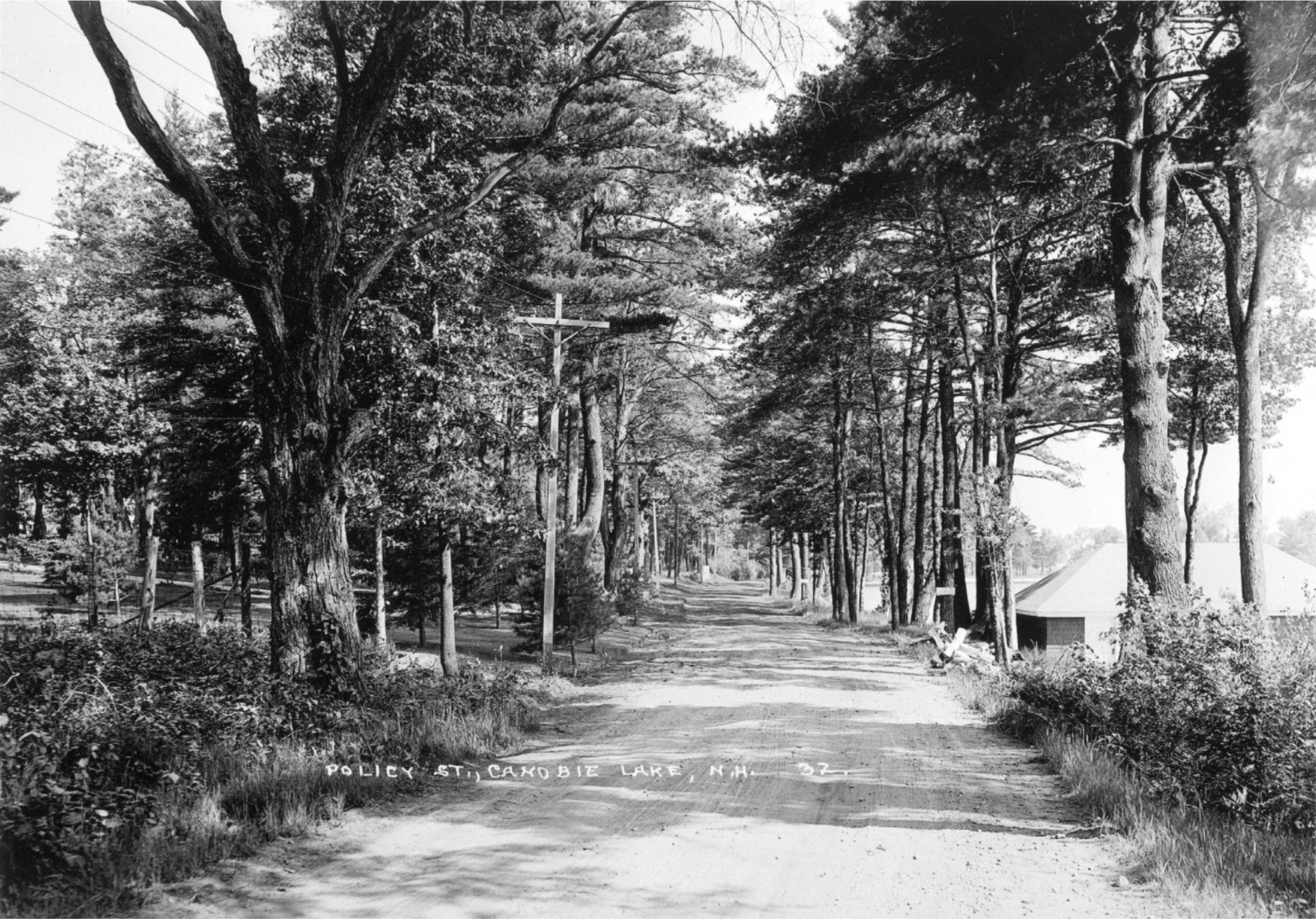 This view shows Policy Street at the Windham, Salem town line looking into Salem.
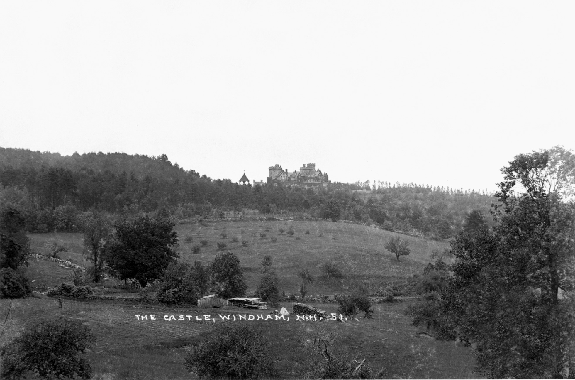 This is an early view of Searles Castle in Windham. I believe it is taken just below Indian Rock Road, running through the photograph, which can be can be detected by the stone walls just above the wood piles. With most of the land in open fields the view from the castle towards Cobbett’s Pond were just spectacular. Of course, this scene today has been totally obliterated by the interstate 93 and Route 111 which tears through this location.
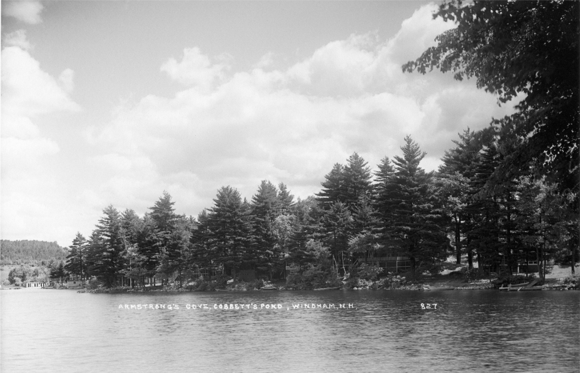 This view shows the shoreline along Cobbett’s Pond which was owned for hundreds of years by the Armstrong family. If you look to the far left you can seen the wooden changing rooms at Armstrong Beach.
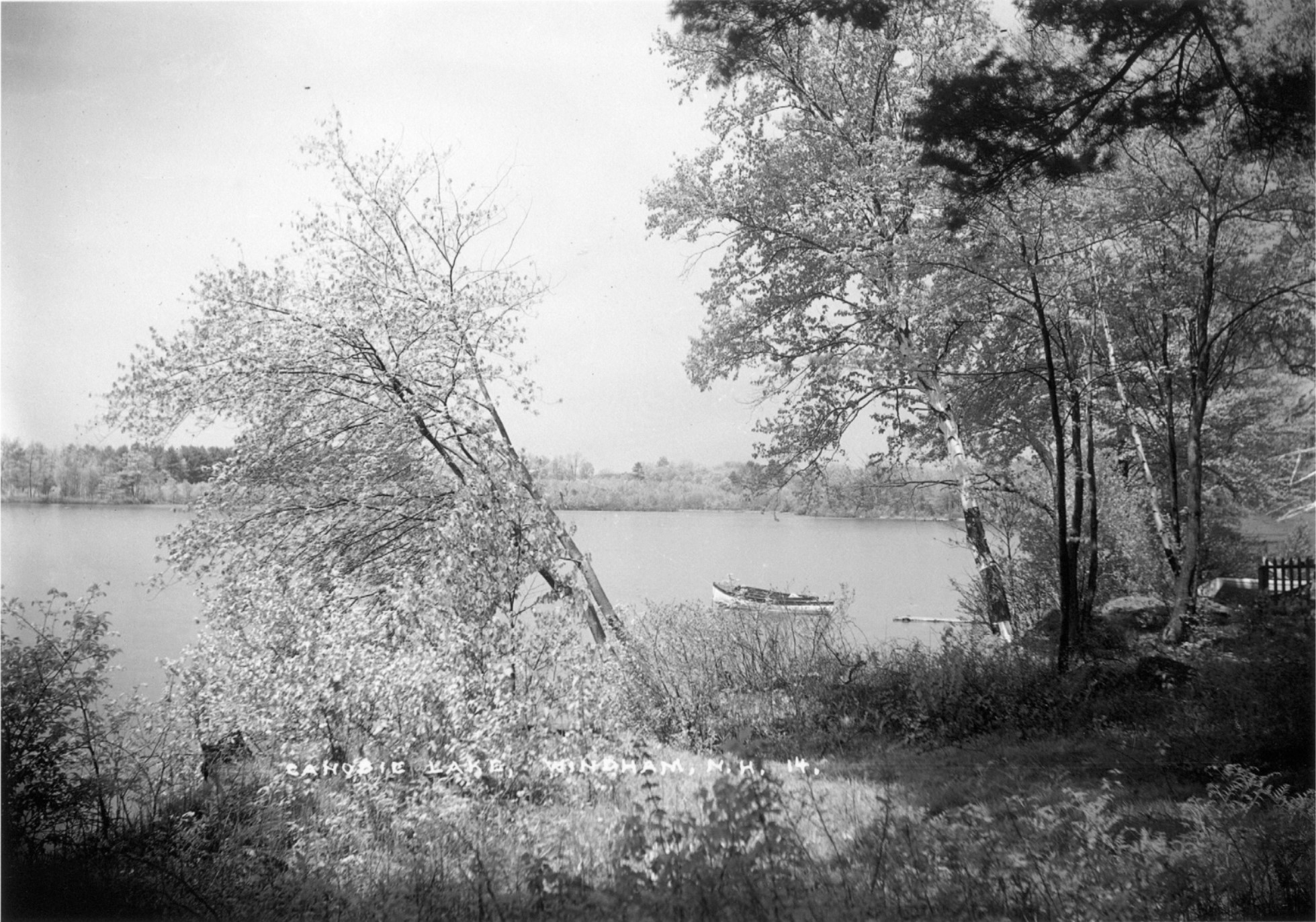 In the Eastern Illustrating Collection of photographs are several of Canobie Lake. They are interesting because they are taken from West Shore Road, looking toward where Woodvue Road is today. You can seen in the photographs all the new growth trees on the opposite shore. It is hard to imaging that long length of water frontage with no development.
